
Topographical Land Surveys in Watford
Reliable Mapping for Land Development
Get a Free Quote From Us Today!
We aim to get back to you in 24 hours.
At Topographical Land Surveys, we specialise in providing high-quality topographical land surveys in Watford. Our services include detailed mapping of land contours, features, and boundaries, making them essential for planning and development projects.
Using advanced surveying equipment, we can deliver precise data for residential, commercial, and industrial sites. We cover Watford and the surrounding WD17 2 postcode area, ensuring comprehensive service wherever you are located.
Contact us today for a detailed survey tailored to your needs.
What Is a Topographical Land Survey?
A topographical land survey maps the contours and features of a piece of land, providing a detailed representation of both natural and man-made elements. At Topographical Land Surveys, we focus on capturing accurate measurements of the terrain using methods such as electronic distance measurement (EDM), GPS, and laser scanning.
This includes recording elevations, structures, and natural features like trees and water bodies with precision that conforms to industry standards such as the RICS guidelines.
These surveys are critical in various sectors, offering essential data for construction, development, and landscaping projects. By identifying potential site issues, such as elevation changes and water drainage, we help optimise designs and support smoother project planning and execution.
Our surveys are tailored to meet the specific needs of your project, whether you are involved in urban planning, road construction, or architectural design. Contact us to discuss how our expertise can assist your next project in Watford.
How Much Does a Topographical Land Survey Cost in Watford?
Topographical land surveys typically cost between £500 and £1,500 in Watford, depending on the site’s complexity and size. The cost may fluctuate based on factors such as terrain type, vegetation density, and accessibility, as well as local planning and zoning regulations.
For example, urban sites with dense infrastructure may require more detailed analysis, such as line drawing, elevation assessment, and contour mapping, which can add to the cost.
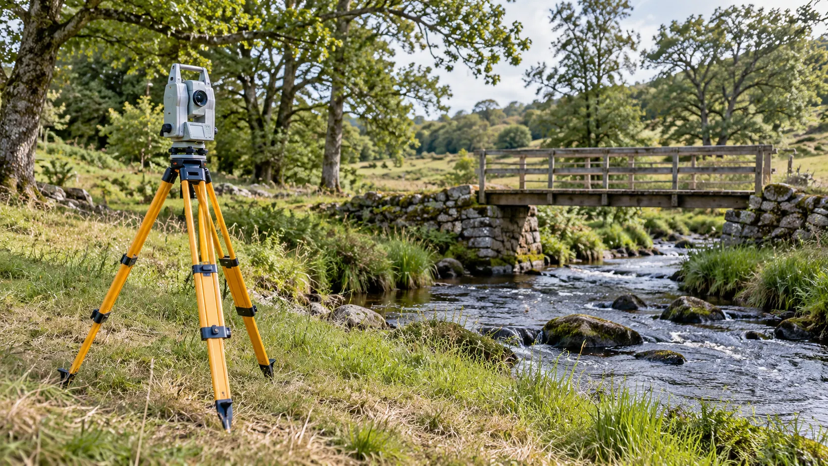
We use industry-standard equipment such as Total Stations and GPS units to ensure precise measurements. This includes capturing both man-made structures and natural land features, which are essential when planning new developments or modifications.
Costs may increase for larger properties or sites with intricate features requiring more detailed mapping.
We provide you with a tailored quote based on specific project needs, ensuring we offer competitive pricing without compromising on the accuracy and quality of our surveys. Contact us to discuss your project and receive a detailed cost estimate.
Get a Free No Obligation Quotation Today
Why Choose the company Topographical Land Surveys for Surveys in Watford?
At Topographical Land Surveys, we pride ourselves on delivering accurate and reliable topographical surveys in Watford. Our expert team uses high-precision equipment such as total stations and GNSS (Global Navigation Satellite System) receivers to provide precise measurements and comprehensive data.
We adhere to industry standards like RICS for mapping and accuracy, ensuring our surveys match professional expectations.
Our experience spans a diverse range of projects, from residential plots to large commercial developments like retail parks and industrial sites. We perform detailed assessments that include contour mapping, boundary demarcation, and elevation profiling to assist in zoning, infrastructure planning, and environmental assessments.
Projects benefit from our precise data models, facilitating efficient design and construction.
Choose us for dependable surveys that help streamline your planning and development process. Contact us today to discuss your project requirements.
What Are the Benefits of Topographical Land Surveys in Watford?
Topographical land surveys offer numerous benefits for projects in Watford by providing essential data crucial for successful execution. They offer detailed insights into land contours, elevations, existing structures, and natural features, helping to prevent costly errors during construction.
- Improve planning accuracy with precise land data collected using tools like theodolites and GPS systems.
- Identify potential site challenges early on, such as drainage issues or unstable soil types, through techniques including subsurface detection.
- Ensure compliance with local planning regulations and the UK’s surveying standards, such as BS 5964, BS 5837, and the Royal Institution of Chartered Surveyors (RICS) guidelines.
- Facilitate efficient design and development processes by integrating data into Building Information Modelling (BIM) for three-dimensional analysis.
Our surveys not only enhance the clarity of planning, but they also streamline communication among architects, engineers, and contractors. Contact us to discover how our surveys can benefit your specific project.
When Is a Topographical Land Survey Needed in Watford?
Topographical land surveys are essential in various scenarios in Watford. They are typically required before beginning any construction, landscaping, or development project.
For instance, if you’re planning a new build, altering property boundaries, or developing complex structures, a survey provides the detailed site understanding necessary for informed planning.
In addition to building and development, these surveys are also crucial for environmental assessments, where the identification of natural features and elevations is essential. Engineers often use topographical data to design drainage systems, ensuring compliance with local hydrological standards and avoiding potential flooding issues.
Architects rely on the survey data to align their designs with existing geographical features, such as contours and vegetation, reducing environmental impact.
Our surveys help ensure your project proceeds smoothly and is grounded on accurate data. Contact us to discuss how we can assist with your specific project needs.
Request a free quote
Frequently Asked Questions
How accurate are the topographical land surveys?
Our topographical land surveys are conducted to accuracy standards using equipment, typically achieving precision within a few millimetres.
How quickly can you conduct a topographical survey?
A topographical survey can generally be completed within one to two weeks from initial contact, depending on the site’s complexity and size.
Do you offer surveys for specific areas within the WD17 2 postcode?
Yes, we conduct surveys across the WD17 2 postcode area and can accommodate specific location requests. Contact us to discuss your requirements.
What equipment do you use for surveys?
We use total stations and GPS technology, ensuring precise and comprehensive measurements for each survey.
How do I request a survey in Watford?
To book a survey, simply contact us via phone or email. We will discuss your project needs and arrange a convenient time for our team to visit your site.
Get a Free Quote for Topographical Land Surveys in Watford
Our expert team is ready to assist with your topographical survey needs. today and ensure the success of your project with accurate land data.
speak with our team today
What People are Saying About Us
★★★★★
“We needed accurate levels for a small development plot. Topographical Land Surveys completed the survey in a day and sent clear drawings exactly as promised.”
Thomas Patel
East of England
★★★★★
“The team at Topographical Land Surveys were really professional and easy to work with, and the plan they sent over was spot on.”
Zara Whitaker
East of England
★★★★★
“Topographical Land Surveys kept us informed throughout and were far quicker than we expected. Their drawing went straight to our planning consultant, and the submission went in on time.”
Harvey Davies
East of England
★★★★★
“What a brilliant team at Topographical Land Surveys! Every level, boundary and tree was on the drawing, and I was absolutely delighted.”
Amara Whitaker
East of England
Our Locations
Looking for our services in another area in Hertfordshire? We are proud to work nationally across the UK, allowing us to ensure we can provide our specialist Topographical Land Surveys services to you.
For a full list of locations we cover in Hertfordshire, see below.