
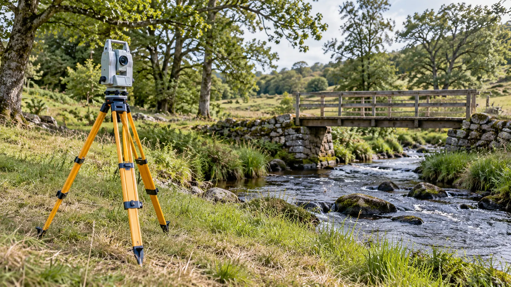
Topographical Land Surveys
Reliable Mapping for Land Development
Get a Free Quote From Us Today!
We aim to get back to you in 24 hours.
At Topographical Land Surveys, we specialise in delivering accurate land surveying services for a range of development, planning, and engineering projects. We measure existing site features, elevations, and boundaries to provide detailed topographical information that assists in project design and informed decision-making.
Our work spans across various property types and development scales throughout the UK to ensure that all site-specific requirements are met efficiently. Contact us to discuss your surveying needs and obtain a detailed quote.
Who Is Topographical Land Surveys?
We’re Topographical Land Surveys, dedicated to providing precise land surveying services to aid in the successful execution of projects across the UK. Our experienced team uses cutting-edge technology, such as Global Navigation Satellite Systems (GNSS) and Total Stations, to meticulously measure and detail existing site features, levels, and boundaries according to the RICS (Royal Institution of Chartered Surveyors) standards. We specialise in producing detailed topographic maps that include contour lines, utility locations, and 3D modelling of complex terrains.
Our surveys are frequently used for infrastructure planning, construction, and environmental studies. Clients benefit from our services whether they are working on residential developments, commercial properties, or large-scale public infrastructure projects.
We strive to equip planners and developers with the reliable data necessary to make informed decisions. Contact us to discuss how we can assist with your specific project needs.
What Services Does the company Topographical Land Surveys Provide?
We offer a range of land surveying services tailored to meet diverse project needs, using modern equipment and techniques to ensure precision and reliability.
- Topographical Surveys: We measure and map the layout, features, and elevations of a site using tools like total stations and GPS receivers. This is vital for planning new construction projects, determining drainage and utility locations, and designing landscaping.
- Boundary Surveys: Establish and verify property lines and corners for residential, commercial, and industrial properties. We employ methods such as deed research and monumentation to resolve boundary disputes and ensure accurate property transfers.
- As-Built Surveys: Document the exact locations and dimensions of completed structures, checking adherence to architectural and engineering plans. These surveys are essential for verifying compliance with planning permissions and are often required before project finalisation.
- Contour Mapping: Create accurate renderings of site elevation changes to aid in design, using software for digital terrain models (DTM) and three-dimensional visualisations. This helps architects and engineers optimise site plans.
Entrust us to provide the precise data necessary for your project’s success.
When Is Land Surveying Needed?
Land surveying is crucial for any development or engineering project. At Topographical Land Surveys, we recommend conducting surveys before design and planning stages.
This ensures accurate mapping of site features and elevations, aiding in compliance and risk management. Surveys are vital for environmental impact assessments, where understanding the terrain helps prevent ecological disruption.
High-precision equipment like total stations and GPS receivers allow us to measure minute topographical variations, ensuring comprehensive data collection.
We regularly work with architects and civil engineers, providing detailed topographical maps that serve as the foundation for site planning and infrastructure design. These maps adhere to the Royal Institution of Chartered Surveyors (RICS) standards, ensuring reliability.
Our services are also essential for boundary disputes and property development documentation, offering clarity and legal standing. Whether you’re dealing with a potential land acquisition or a complex construction project, contact us to schedule your survey and ensure project accuracy.
Get a Free No Obligation Quotation Today
How Does Topographical Land Surveys Work?
Our surveying process involves a series of precise steps to ensure accuracy and reliability for every project.
- Consultation: We begin with an initial discussion to understand project requirements, identifying specific surveying needs, and any potential challenges that may arise on site. This helps customise our approach for various client types, including architects, engineers, and property developers.
- Site Visit: During the site visit, we use advanced equipment such as total stations and GPS receivers to conduct a detailed measurement of site features and levels. We adhere to industry standards such as the RICS Guidelines for Land Surveys to ensure precision. Our site visits typically last from half a day to several days, depending on the size and complexity of the site.
- Data Processing: Once the data is collected, we analyse it using specialised software like AutoCAD Civil 3D or GIS tools to produce accurate topographic maps, which detail terrain features like contours and elevation changes.
- Delivery: Finally, we provide comprehensive reports and maps to clients, including digital formats for easy integration into their design workflows. Our detailed reports are valuable for planning applications, construction projects, and environmental assessments.
Reach out today to discuss how we can assist with your surveying needs.
Who Does Topographical Land Surveys Help?
We assist a broad range of clients, providing detailed and precise data for various needs and applications.
- Architects and Engineers: We ensure accurate site data through techniques such as total station surveying and LiDAR scanning. This helps in creating reliable contours and elevations for design and planning.
- Property Developers: Our surveys facilitate informed decisions on land use by assessing topographical features, potential hazards, and site limitations, enabling efficient project planning.
- Local Authorities: We offer comprehensive data that aids in planning and compliance, aligning with necessary legal and environmental regulations such as those set by the Environment Agency.
- Construction Companies: By mapping features like underground utilities and drainage systems, we support safe and efficient building practices, helping to eliminate costly errors and delays.
Our surveys provide the foundation for successful project outcomes across these diverse sectors.
How Quickly Can Topographical Land Surveys Respond?
At Topographical Land Surveys, we prioritise efficient scheduling to accommodate project timelines, ensuring minimal disruption to construction or planning processes. We use industry-standard equipment such as Trimble GNSS systems and Leica total stations, which enable us to conduct surveys with high accuracy.
Our Chartered Land Surveyors follow RICS (Royal Institution of Chartered Surveyors) guidance to deliver reliable measurements.
While response times may vary based on project size and complexity, our team typically conducts surveys within one to two weeks from initial consultation. For larger sites, additional crew members may be deployed to expedite data collection.
We specialise in diverse property types, from urban rooftops to rural farmland, adapting our approach to each unique landscape.
Reach out today to schedule your survey and secure timely and precise results.
Request a free quote
How Does Topographical Land Surveys Ensure Quality and Compliance?
We ensure quality and compliance by adhering to industry standards such as those set by the Royal Institution of Chartered Surveyors (RICS) and using precise surveying equipment like total stations and GPS rovers. These instruments allow us to capture detailed site data accurately, ensuring our reports meet stringent planning and engineering requirements.
Our team is trained in advanced surveying techniques, including 3D laser scanning and digital modelling, which enhance visualisation and analysis. We also use CAD software to create clear, comprehensive maps and plans.
This approach facilitates effective communication with architects, engineers, and construction managers, reducing misunderstandings and project delays.
By regularly updating our methodologies to align with the latest technological advancements, we ensure that our surveys are both accurate and compliant. Contact us to learn more about how we can support your project with reliable, precise land survey data.
Why Choose Topographical Land Surveys?
Choosing our services ensures precision and reliability by combining knowledge, technology, and a client-centric focus.
- Experienced Team: Our skilled surveyors have decades of combined experience, specialising in various types of land surveys including boundary, construction, and topographic surveys. They are all accredited by the relevant professional bodies, ensuring adherence to industry standards.
- Advanced Technology: Using the latest in GPS technology and robotic total stations, we ensure data accuracy and efficiency. Our laser scanners provide 3D modelling capabilities that capture intricate details vital for complex projects.
- Comprehensive Data: We provide detailed and easy-to-interpret reports with CAD drawings, elevation profiles, and contour plans. Our reports help architects, engineers, and developers make informed decisions quickly.
- Client-Focused Approach: Tailoring services to your project’s needs, we offer flexible scheduling and customised survey packages, accommodating different timelines and budget constraints.
Our goal is to deliver precise and actionable insights for a wide range of property types, ensuring each project is a success from planning through to execution. Contact us today to discuss how we can assist with your surveying needs.
Frequently Asked Questions
What is a topographical survey?
A topographical survey involves mapping the features and elevations of a site. At Topographical Land Surveys, we provide detailed maps that inform project design.
How accurate are your land surveys?
Our surveys are conducted using technology for accuracy. We adhere to industry standards at Topographical Land Surveys to ensure precise results.
How long does a land survey take?
The time required varies, but typically our surveys at Topographical Land Surveys can be completed within one to two weeks from consultation.
Get a Free Quote
For reliable and accurate land surveying services, contact us at Topographical Land Surveys. Our team is ready to assist you with your project needs.
speak with our team today
What People are Saying About Us
★★★★★
“We needed accurate levels for a small development plot. Topographical Land Surveys completed the survey in a day and sent clear drawings exactly as promised.”
Thomas Patel
London
★★★★★
“The team at Topographical Land Surveys were really professional and easy to work with, and the plan they sent over was spot on.”
Zara Whitaker
London
★★★★★
“Topographical Land Surveys kept us informed throughout and were far quicker than we expected. Their drawing went straight to our planning consultant, and the submission went in on time.”
Harvey Davies
London
★★★★★
“What a brilliant team at Topographical Land Surveys! Every level, boundary and tree was on the drawing, and I was absolutely delighted.”
Amara Whitaker
London
Our Locations
We are proud to work nationally across the UK, allowing us to ensure we can provide services to you.
For a full list of counties we cover in the UK, see below.